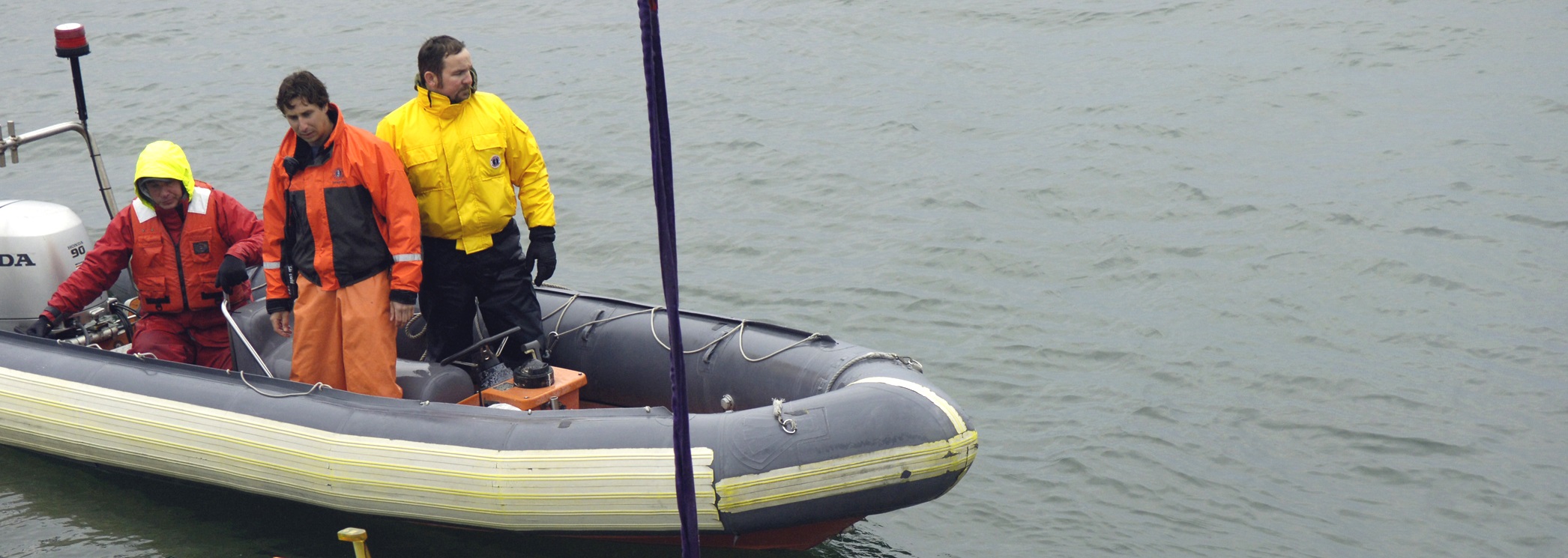
Since World War II, sea mines have damaged or sunk four times more U.S. Navy ships than all other means of attack combined, according to a Navy report on mine warfare. New sonar research being performed by the Georgia Tech Research Institute (GTRI) could improve the Navy’s ability to find sea mines deep under water.
The underlying technology, known as synthetic aperture sonar (SAS), uses advanced computing and signal processing power to create fine-resolution images of the seafloor based on reflected sound waves. Thanks to the long-term vision and a series of focused efforts funded by the Office of Naval Research spanning back to the 1970s, SAS is becoming a truly robust technology. When it transitions to the fleet, the SAS will dramatically improve the Navy’s ability to carry out the mine countermeasures mission.
“The Navy wants to find sea mines,” said Daniel Cook, a GTRI senior research engineer. “There are systems that do this now, but compared to SAS, the existing technology is crude.”
The SAS research is funded by a grant from the Office of Naval Research, and is conducted in collaboration with the Applied Research Laboratory at the Pennsylvania State University. In the past year, the group has made strides in improving the ability to predict and understand sonar image quality and has published and presented their work at conferences.
Sonar systems emit sound waves and collect data on the echoes to gather information on underwater objects.
The Navy uses torpedo-shaped autonomous underwater vehicles (AUVs) to map swaths of the seafloor with sonar sensors. Perhaps the most well-known example is the Bluefin 21 used to search for Malaysian Airlines Flight 370. The AUVs zigzag back and forth in a “mowing the lawn pattern,” Cook said. These AUVs can map at a range of depths, from 100 to 6,000 meters.
SAS is a form of side scanning sonar, which sends pings to the port and starboard sides of the AUV and records the echoes. After canvassing the entire area, data accumulated by the sensor is processed into a mosaic that gives a complete picture of that area of the seafloor.
SAS has better resolution than real aperture sonar (RAS), which is currently the most widespread form of side scan sonar in use. RAS transmits pings, receives echoes and then paints a strip of pixels on a computer screen. RAS repeats this pattern until it has an image of the seafloor. This technology is readily available, and relatively cheap, but its resolution over long ranges is not good enough to suit the Navy’s mine hunting needs.
RAS sensors emit acoustic frequencies that are relatively high and are therefore quickly absorbed by the seawater. SAS uses lower frequency acoustics, which can travel farther underwater. Upgrading to SAS improves the range at which fine resolution pictures can be produced.
“RAS can give you a great looking picture but it can only see out 30 to 50 meters,” Cook said. “For the same resolution, SAS can see out to 300 meters.”
SAS does not create a line-by-line picture of the sea floor like RAS. Instead, SAS pings many times while recording the echoes on a hard drive for post-processing. Once the AUV surfaces, the hard drive is removed and the data is analyzed by computers in a complex signal processing effort. The processing converts the pings into a large, fine-resolution image of the seafloor. The commonly accepted measure for fine resolution is a pixel size of 1 inch by 1 inch, which is what SAS can achieve.
Tests of SAS in AUVs have produced fine-resolution images of sunken ships, aircraft, and pipelines. But when looking at an image of the seafloor from above, operators might have difficulty discerning the identity of simple objects.
For example, certain mines have a circular cross section. When looking at a top-down image, an operator might not be able to tell the difference between a mine and a discarded tire. To discern if that circular-shaped object is a threat, operators consider the shadow that an object casts in the sonar image. A mine will cast a shadow that is easy to distinguish from those cast by clutter objects such as tires. The shadow contrast research will be used to help ensure that this distinction is as clear as possible.
"Predicting contrast has been a challenging problem for the sonar community," Cook said. "We have developed a compact model that allows us to compute contrast very quickly."
Improving contrast prediction can have a ripple effect in mine hunting capability. Naval officers will be better able to plan missions by predicting how good the shadows will be in a certain environment. This can lead to improved imagery, power conservation, and better performance for automatic target recognition software.
Mines are plentiful and easy to make. Some mines explode on contact. Others are more sophisticated, exploding or deploying torpedoes when their sensors detect certain acoustic, magnetic or pressure triggers. Some can destroy a ship in 200 feet of water.
“Mines are a terrible problem. They lie in wait on the seafloor, so you want to go find them with as few people in the process as possible, which is why we’re driven towards these autonomous vehicles with synthetic aperture sonar,” Cook said.
This research is supported by the Office of Naval Research under grant numbers N00014-12-1-0085 and N00014-12-1-0045. Any opinions, findings, and conclusions or recommendations expressed in this material are those of the author(s) and do not necessarily reflect the views of the Office of Naval Research.
CITATIONS: D. Cook, et al. “Synthetic aperture sonar contrast, in 1st International Conference and Exhibition on Underwater Acoustics,” June 2013, pp. 143–150.
Z.G. Lowe, et al. “Multipath ray tracing model for shallow water acoustics.” Proc. 11th Eur. Conf. Underwater Acoust.,ECUA2012, Jul. 2012.


