Research using data from a pair of geostationary satellites and a ground-based lightning mapping array could lead to more accurate forecasting of devastating tornadoes spinning off from severe storms. By analyzing dozens of factors, such as the electrical charge patterns within the storms and variations in lightning frequency, researchers are working to identify a “genetic profile” of the thunderstorms likely to produce tornadoes.
If they’re successful in using an artificial intelligence technique known as machine learning to associate potentially dozens of factors with the formation of tornadoes, the work could dramatically improve the detection of severe storms – and reduce false alarms.
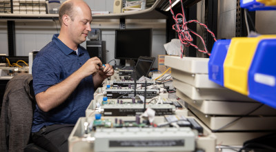
“This is a great opportunity to apply machine learning to take advantage of the severe storm reports available for the past several years,” said Levi Boggs, a research scientist at the Severe Storms Research Center (SSRC) at the Georgia Tech Research Institute (GTRI). “We can feed all of this information, potentially 30 or 40 different predictors, into the machine learning models and train them to identify patterns that we could potentially use to predict when tornadoes will form. Using AI, we can take on tasks that would be too challenging for humans alone.”
Using data from their ground-based lightning mapping array, the researchers also are studying “jumps” and “dives” in lightning activity to see how they may help predict the formation of tornadoes.
Overcoming the Challenges of Radar
Forecasters now rely on weather radar to identify tornadoes and predict which storms may spin them off. But in areas such as North Georgia, topographical features such as mountains can limit the ability to see lower portions of potentially-dangerous storms, while the time required for radars to update their views can cut into warning times. Electromagnetic interference also can create confusing radar results, and during large severe weather outbreaks stretching across hundreds of miles, there can be multiple storms that must be watched for signs of tornadic activity.
As a result, the development of tornadoes can be missed, while false alarms may lead citizens to disregard warnings – or wait too long to seek shelter. Based on research conducted so far, Boggs believes warnings based on machine learning techniques could be significantly faster and more accurate – and offer the potential to automate the tracking of the storms.
“With radar-based methods, there can be a high false alarm rate, as much as 60 or 70 percent,” he said. “At the same time, the probability of detection can be as low as 50 or 60 percent, which means a lot of tornadoes are missed. With these machine-learning techniques, we expect to improve on both detection and false alarm rates.”
Training Machine Learning with Detailed Storm Reports
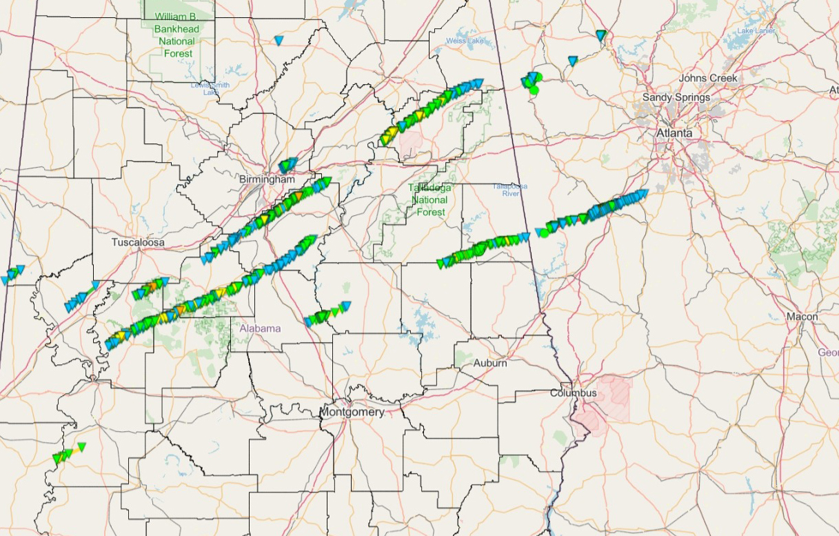
So far, researchers have trained their machine learning system on data from 62 tornadoes resulting from 40 different storms in Georgia. In the Peach State, tornadoes commonly pop up from squall lines of storms, though supercells – larger rotating behemoths more often seen in the Midwest – also bring tornadoes into the state.
Supercells can spawn more powerful tornadoes – EF3, EF4, and EF5 – which are more dangerous to humans and destructive to property. But squall line tornadoes can also be deadly, even if they create less powerful EF0, EF1, and EF2 tornadoes, and lines of storms capable of producing them may extend across multiple states.
“One of the main benefits of this machine learning technique is that by using data from the geostationary lightning mapper on the GOES satellite, you would be able to avoid the limitations of radar,” he said. “Using satellite data, you have a huge field of view without the terrain blockages, and you can detect tornadoes over a huge distance – potentially the entire continental United States.”
Using the technique, Boggs and his colleagues are evaluating as many as 40 different parameters to see which ones may be relevant to predicting tornado formation. Among them is the pattern of electrical charge within the storms, which he compares to a genetic profile.
“A typical thunderstorm may have two or three charge regions, but the supercells could have a dozen or more separate regions,” he said. “It’s really complicated to see what’s going on with the lightning because those complex charge structures will create different types of discharges. The flash rate can be just noisy.”
Despite the potential advantages of satellite tornado prediction, Boggs believes forecasters will likely continue to use existing radar techniques, supplementing them with new technology as it develops. GTRI has submitted proposals to funding organizations to continue testing the machine learning tool, which also could be useful to countries that lack the weather radar network available to forecasters in the United States.
Analyzing Lightning ‘Jumps’ and ‘Dives’
Satellite data and machine learning aren’t the only approaches SSRC researchers are using to identify where tornadoes and other severe weather will pop up.
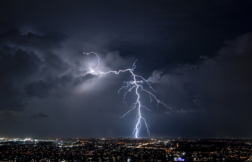
For several years, GTRI has operated the ground-based North Georgia Lightning Mapping Array (NGLMA) that tracks lightning bursts in North Georgia, centered on the Atlanta metropolitan area. Researchers are using radio-frequency emissions recorded by the array to study lightning flashes in an effort to correlate “jumps” – increases in lightning occurrence – and “dives” – reductions in frequency – with the development of severe storms.
The ground-based array – one of several operating in the United States – provides information not available from satellites, so the two sources are complementary, providing both optical and radio-frequency data.
The array was deployed by John Trostel, director of the SSRC, and correlates data on electromagnetic energy produced by the lightning bursts with precise timing and location information. The network of 12 ground stations tracks both lightning that interacts with the ground as well as bursts that stay in the clouds – which account for 75 percent of all lightning – providing a detailed map of electrical charge in the atmosphere.
“What we are looking for is a rapid increase in how many flashes there are over a brief period of time, on the order of a couple of minutes,” said Jessica Losego, an SSRC research meteorologist who is using a NASA-developed algorithm to study the phenomena. “If you see a jump, you can feel somewhat confident that you’re going to soon have some type of severe weather that may include damaging wind, hail, or a tornado. Analyzing this can help with all modes of severe weather, not just tornadoes.”
Losego is among the weather researchers worldwide who are also studying dives, sudden declines in lightning rates, though it’s not yet clear how – and if – they may help forecasters. The dives in lightning activity may serve as yet another indicator of the strength of a storm and how it may be changing.
How Georgia’s Severe Weather Is Different
After a tornado killed a dozen people in North Georgia in 1998, the SSRC was created by the state of Georgia to develop improved means of providing early warning of tornadoes and severe storms. Beyond topographical issues, Georgia’s tornadoes can differ from those of neighboring states in other ways, Losego noted.
“A lot of our storms come through later in the day, which means there’s less sunlight to provide energy to the storms,” she said. “The storms may start in Mississippi early in the day and may fall apart by the time they get there, but they are still dangerous. Storms that arrive late in the day or evening can make it more difficult to warn citizens who may be asleep when tornadoes are detected.”
Data gathered by the NGLMA is shared with National Weather Service (NWS) forecasters in Peachtree City, providing an additional source of information for its forecasts.
“Our goal is to provide another tool that the NWS can use to provide more warning and have more confidence in that warning,” Losego said. “Data from our lightning mapping array goes directly into their systems, and we will share what we learn about using information from jumps and dives that could improve warnings to Georgia citizens.”
The NGLMA now covers North Georgia. Because the southern part of Georgia is out of the range of the NGLMA network and can have a different set of weather conditions, the researchers would like to establish a second array to track severe storms there.
Research Supports SSRC Goals
The SSRC was created through funding from the Georgia Emergency Management Agency (GEMA), the Federal Emergency Management Agency (FEMA), and the state of Georgia to serve as a focal point for severe storm research in Georgia.
“The SSRC serves the state of Georgia by actively developing alternative methods for detecting and forecasting severe local storms and exploring improvements to existing storm prediction and sensor technology,” said Trostel. “We are utilizing the latest in machine learning, data analysis, and other technologies to support the goals of keeping Georgians safe from severe storms.”
Writer: John Toon (john.toon@gtri.gatech.edu)
GTRI Communications
Georgia Tech Research Institute
Atlanta, Georgia

The Georgia Tech Research Institute (GTRI) is the nonprofit, applied research division of the Georgia Institute of Technology (Georgia Tech). Founded in 1934 as the Engineering Experiment Station, GTRI has grown to more than 2,900 employees, supporting eight laboratories in over 20 locations around the country and performing more than $800 million of problem-solving research annually for government and industry. GTRI's renowned researchers combine science, engineering, economics, policy, and technical expertise to solve complex problems for the U.S. federal government, state, and industry.

Related News